
Our expertise isn't a secret.
The wealth resources our team uses on a daily basis to serve our clients on Lake Superior are critical to maintaining our standard of service. We wish to share not only our experience in the field but our resources themselves for the benefit of our clients. Below you will find a variety of online tools we use to educate our practice.
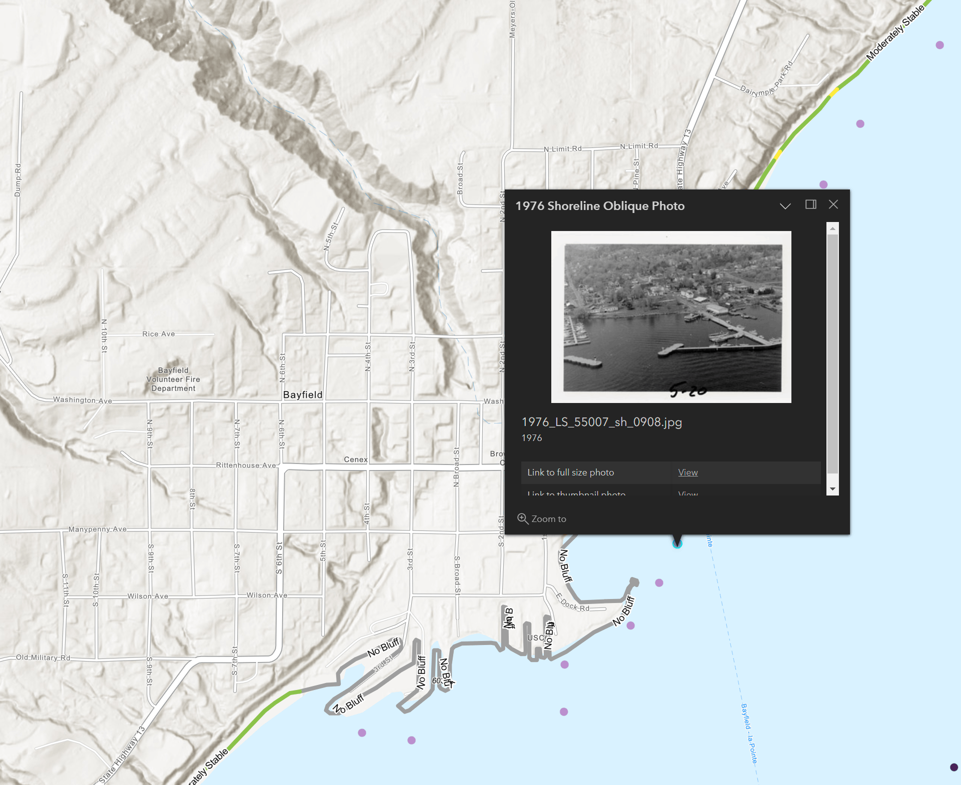
WISCONSIN SHORELINE INVENTORY AND OBLIQUE PHOTO VIEWER
This resource from the state cartographer's office compiles historic shoreline photos and coastal recission analyses grading tracts of shoreline by their rates of erosion.
Credit to the following contributors for this valuable resource:
- ASFPM Flood Science Center
- Dr. David Mickelson, Geo-Professional Consultants, LLC
- Wisconsin Coastal Management Program
- WisconsinView
- Wisconsin Wing, Civil Air Patrol
- University of Wisconsin Sea Grant Institute
- University of Wisconsin-Madison Coastal Sustainability Laboratory
- UW Civil & Environmental Engineering
- Caitlin Wolters